The National Address Database: A Game-Changer for Rural Communities
The National Address Database (NAD) is a groundbreaking initiative by the U.S. government that has opened doors to unprecedented access to federal, state, and modern-day resources for rural communities.
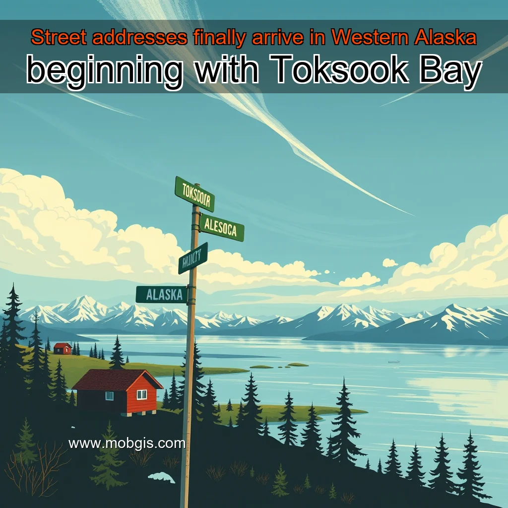
The Problem of Unstructured Addresses in Alaska’s Coastal Communities
Alaska’s coastal communities have long struggled with the lack of standardized addresses. This issue has far-reaching consequences, affecting not only residents but also visitors, businesses, and government services. The absence of structured addresses can lead to confusion, frustration, and even safety concerns. Inadequate addressing can hinder access to essential services, such as healthcare and emergency services. It can also create difficulties for businesses, making it challenging to establish a physical presence and attract customers. Furthermore, unstructured addresses can lead to issues with mail delivery, making it hard for residents to receive important documents and packages.
The Benefits of Standardized Addresses
Standardized addressing can bring numerous benefits to Alaska’s coastal communities. By providing a clear and consistent system, residents and visitors can easily navigate the area, access essential services, and conduct daily activities. Standardized addresses can improve access to healthcare and emergency services, reducing response times and improving outcomes. It can also enhance the overall quality of life for residents, making it easier to establish a sense of community and connection.
The team worked together to create a comprehensive map of the city, incorporating data from various sources, including the Alaska Department of Natural Resources and the U.S. Geological Survey (USGS). The GIS initiative aimed to provide the city with a reliable and accurate map that would aid in decision-making and resource allocation.
GIS Mapping for Toksook Bay
The GIS mapping project for Toksook Bay was a collaborative effort between CVRF, the City of Toksook Bay, and the Alaska Map Company. The project involved the creation of a comprehensive map of the city, incorporating data from various sources, including:
The project has also created a new job opportunity for a full-time GIS analyst in Toksook Bay.
The Geographic Data Project: Empowering Local Communities
The geographic data project is a collaborative effort between the University of Alaska Fairbanks (UAF) and the Alaska Native Tribal Center for Rural Self-Sufficiency (ANTC). The project aims to provide Alaska Native communities with the tools and resources needed to manage and analyze their geographic data.
Benefits of the Project
The geographic data project offers numerous benefits to the participating communities. Some of the key advantages include:
Job Opportunities and Economic Benefits
The geographic data project also drives local employment and job opportunities.
Census data will provide valuable insights into the community’s demographics, economic conditions, and infrastructure needs.
The U.S. Census Bureau has been working to improve data collection methods and increase the accuracy of census data. The city’s inclusion in the census will provide valuable insights into the community’s demographics, economic conditions, and infrastructure needs.
The Significance of Toksook Bay’s Inclusion in the U.S. Census
Toksook Bay’s inclusion in the U.S.
The Importance of Mapping Data in Emergency Response
In the face of natural disasters, pandemics, and other crises, emergency responders must act quickly and effectively to save lives and minimize damage. One crucial tool in their arsenal is mapping data. By analyzing and visualizing geographic information, emergency responders can identify areas of high risk, optimize response strategies, and allocate resources more efficiently.
The Role of Mapping Data in Emergency Response
Mapping data plays a vital role in emergency response by providing a clear picture of the affected area. This information can be used to:
The Benefits of Mapping Data in Emergency Response
The use of mapping data in emergency response has numerous benefits, including:
Case Studies: Mapping Data in Action
Several organizations are already using mapping data to improve emergency response.
Dan Sullivan, Sen. Lisa Murkowski, and Rep. Don Young, for their unwavering support and advocacy for the project.
Introduction
The Coastal Villages Region Fund (CVRF) is a vital initiative that aims to improve the quality of life for the residents of the coastal villages in Alaska. The fund was established to provide financial assistance to these communities, which face unique challenges due to their remote location and limited access to resources. In this article, we will delve into the details of the CVRF and explore its significance in supporting the development of these coastal villages.
The Need for the CVRF
The coastal villages in Alaska are facing numerous challenges, including limited access to healthcare, education, and economic opportunities. These communities are often isolated and lack the resources needed to provide basic services to their residents.
Introduction
The Coastal Villages GIS team is a group of dedicated professionals working together to improve the geographic information system (GIS) for the coastal villages. Their efforts have been focused on enhancing the database, which is a crucial component of the GIS system.