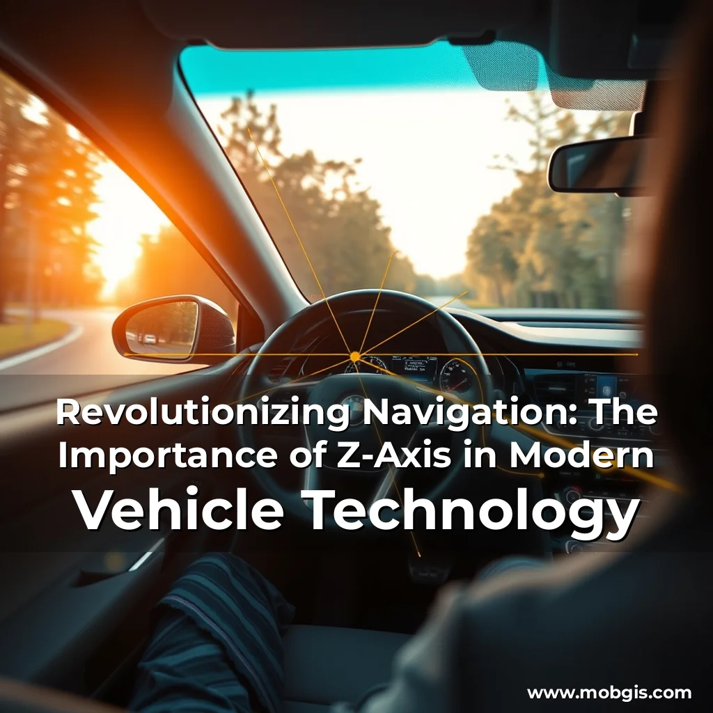
The Z-Axis: A Critical Component in Modern Vehicle Navigation
In the rapidly evolving world of vehicle navigation, the Z-axis has emerged as a critical component in modern vehicle technology. This dimension, which represents vertical positioning, is no longer just a niche aspect of mapping but has become an essential layer of precision and safety in mobility. Experts emphasize the significance of the Z-axis, stating that it has become a vital component in the global adoption of Software Defined Vehicles (SDVs). “Globally, the industry is making strides in leveraging high-definition mapping and 3D positioning to integrate the Z-axis into ADAS (Advanced Driver Assistance System) and autonomous driving,” says Abhijit Sengupta, Senior Director & Head of Business for Southeast Asia and India at HERE Technologies.
Why the Z-Axis Matters
The Z-axis plays a crucial role in enhancing safety and precision in vehicle navigation and ADAS. With traditional GPS providing only latitude and longitude (X and Y coordinates), the Z-axis offers a critical dimension in understanding elevation changes. This is essential in lane-level navigation, adaptive cruise control, and collision avoidance in multi-level environments.
- Lane-level navigation: The Z-axis enables vehicles to understand the terrain and adjust accordingly, reducing the risk of accidents and improving overall safety.
- Adaptive cruise control: The Z-axis allows vehicles to adjust speed and distance based on real-time elevation changes, reducing the risk of collisions.
- Collision avoidance: The Z-axis helps vehicles to detect obstacles and avoid collisions in multi-level environments.
India’s Position in 3D Mapping
India is at the forefront of 3D mapping and Z-axis integration, with companies like MapmyIndia Mappls leading the charge. Rakesh Verma, Co-founder & Chairman and Managing Director of MapmyIndia Mappls, highlights the significance of 3D mapping and the Z-axis in the global mobility ecosystem.
| Key Challenges | Description |
|---|---|
| Geographical diversity and complexity | The sheer variety of terrain, cities, and infrastructure in India presents significant challenges for consistent mapping at scale. |
| Urbanization and infrastructure development | The rapid pace of urbanization and construction of new roads, buildings, and infrastructure pose challenges for maintaining up-to-date, real-time maps. |
| Positional accuracy | India’s varied road quality, traffic conditions, and terrain require maps to include 3D and Z-axis data, such as elevation, slopes, and detailed landmark models. |
NavIC and the Future of Mapping in India
The Indian Regional Navigation Satellite System (IRNSS) is a crucial element in providing accurate and reliable positioning in India. However, its adoption faces some hurdles, including competition from global satellite systems like GPS, GLONASS, and Galileo. Nevertheless, NavIC provides a distinct advantage for India, particularly in urban canyons and areas with poor satellite visibility.
“The Z-axis will serve as an essential outer layer, enriching these advancements by adding depth to navigation, safety, and real-time decision-making,” says Prakash Nagarajan, Vice President, Collaboration and Connected Solutions (CSS) – MOVE, Tata Communications.
The Road Ahead: AI and Real-Time Mapping
As Software Defined Vehicles (SDVs) evolve, they will rely heavily on high-definition maps and real-time data. The importance of accurate, continuously updated maps cannot be overstated. The integration of machine learning (ML) and AI-based data processing will play a pivotal role in enhancing mapping accuracy while significantly reducing update times.
- Real-time localization
- AI-driven decision-making
- Integration with systems like NavIC for precise positioning
The Future of Mobility
The future of mobility lies in intelligent, adaptive mapping systems—where AI, real-time localization, and advanced satellite positioning work seamlessly to create a safer, smarter driving experience. As the industry continues to evolve, the importance of the Z-axis in modern vehicle technology will only continue to grow.