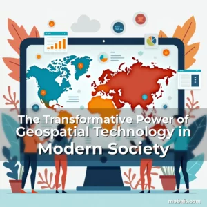
The Transformative Power of Geospatial Technology in Modern GIS Applications
In an era where location intelligence shapes everything from urban development to climate research, geospatial technology has emerged as a cornerstone of innovation. This powerful fusion of geography and data science enables us to visualize, analyze, and interpret spatial information across various domains.
From mapping natural disasters to optimizing supply chains, geospatial tools are redefining how we interact with our physical world. As mobile GIS platforms continue evolving, their impact on both professionals and everyday users is becoming increasingly profound.
Fundamental Concepts of Geospatial Technology
At its core, geospatial technology involves capturing, storing, analyzing, and presenting data related to positions on Earth’s surface. These systems rely heavily on coordinates, which form the foundation of any geographic representation.
Data collection methods vary widely but typically include satellite imagery, GPS tracking, aerial photography, and ground surveys. Each technique offers unique advantages depending on the application requirements and environmental conditions.
- Satellite Imagery: Provides high-resolution views of large areas at regular intervals, essential for monitoring changes over time
- GPS Tracking: Enables precise real-time location determination crucial for navigation and logistics management
Once collected, these datasets undergo rigorous processing through specialized software that transforms raw numbers into meaningful visualizations. The final output often includes maps, charts, or three-dimensional models tailored to specific needs.
Evolution of Geospatial Tools and Technologies
The history of geospatial technology dates back to ancient times when early civilizations used celestial bodies for navigation. However, modern advancements have revolutionized this field dramatically since the mid-20th century.
With the advent of computers and digital mapping technologies, geospatial analysis became more accurate and accessible than ever before. Today’s sophisticated algorithms can process vast amounts of spatial data within seconds.
Pivotal Moments in Development
One significant milestone occurred in 1958 with the launch of the first weather satellite by NASA. This event marked the beginning of systematic remote sensing capabilities on a global scale.
Later, the introduction of Global Positioning System (GPS) satellites during the 1970s transformed navigation accuracy worldwide. By the late 1990s, commercial applications began leveraging these technologies extensively.
The emergence of Geographic Information Systems (GIS) software further accelerated progress by allowing users to integrate different types of spatial data seamlessly. Open-source initiatives also played a vital role in democratizing access to advanced geospatial tools.
Diverse Applications Across Industries
Geospatial technology finds extensive use across numerous sectors including agriculture, transportation, public safety, and environmental conservation. Its versatility makes it indispensable for solving complex challenges efficiently.
Agricultural producers utilize precision farming techniques enabled by geospatial analytics to optimize crop yields while minimizing resource consumption. Similarly, urban planners employ these tools to design smarter cities that accommodate growing populations effectively.
- Transportation Management: Real-time traffic monitoring helps reduce congestion and improves emergency response times significantly
- Disaster Response: Accurate risk assessments guide evacuation plans and aid distribution efforts during crises
Public health officials benefit immensely from disease mapping capabilities that identify outbreak patterns quickly. Such insights enable targeted interventions that save lives and prevent epidemics from spreading uncontrollably.
Mobile GIS and Location-Based Services
The rise of smartphones equipped with built-in GPS receivers has ushered in a new era for mobile GIS applications. Users now have instant access to location-based services that enhance daily experiences considerably.
Navigation apps like Google Maps exemplify how geospatial technology simplifies route finding for millions globally. Additionally, augmented reality features overlay virtual information onto real-world environments enhancing user engagement uniquely.
Impact on Business Operations
Businesses leverage geospatial data for market analysis identifying optimal locations for new stores based on foot traffic patterns. Retailers use heatmaps generated from customer movement data to maximize sales potential strategically.
Field service industries apply mobile GIS solutions to streamline operations ensuring technicians reach job sites promptly reducing downtime costs substantially. Integration with IoT devices allows continuous performance monitoring remotely.
Moreover, asset tracking systems help organizations manage inventory levels accurately preventing shortages or excess stock situations. This level of operational efficiency contributes directly to bottom-line improvements.
Educational Opportunities and Career Paths
As demand grows for skilled professionals proficient in geospatial technologies, educational institutions are expanding programs focused specifically on this discipline. Students gain hands-on experience using industry-standard software preparing them well for future roles.
Career opportunities span diverse fields such as cartography, remote sensing, urban planning, and environmental science. Professionals may work in government agencies, private enterprises, or academic settings depending on their interests and expertise.
- Remote Sensing Analyst: Analyzes satellite images to monitor deforestation rates or track ocean currents
- Urban Planner: Designs sustainable city layouts incorporating green spaces and efficient transport networks
Certifications from recognized organizations validate technical skills making candidates more competitive in job markets. Continuous learning remains critical due to rapid technological advancements shaping the sector constantly.
Challenges Facing the Geospatial Industry
Despite its many benefits, geospatial technology faces several obstacles hindering wider adoption. Data privacy concerns arise when collecting personal location information without explicit consent leading to ethical dilemmas.
Technological limitations persist particularly regarding data resolution and processing speed affecting reliability under certain circumstances. Inadequate infrastructure in developing regions restricts access to cutting-edge tools hampering equitable growth globally.
- Data Accuracy Issues: Inconsistent measurement standards between countries create compatibility problems limiting cross-border collaborations
- High Initial Costs: Acquisition of advanced equipment requires substantial investment deterring small businesses from entering the market
Addressing these issues demands coordinated efforts among policymakers, technologists, and end-users alike. Establishing clear regulations around data usage ensures responsible implementation benefiting society broadly.
The Future Landscape of Geospatial Innovation
Ongoing developments promise exciting possibilities for geospatial technology moving forward. Artificial Intelligence integration enhances predictive modeling abilities transforming decision-making processes profoundly.
Advancements in drone technology coupled with improved sensor capabilities offer unprecedented access to previously unreachable areas. These innovations expand research opportunities especially in ecological studies requiring fine-grained observations.
Blockchain implementations could potentially secure geospatial data against tampering increasing trustworthiness notably. As computational power increases exponentially, handling massive datasets becomes feasible opening doors to deeper analytical insights regularly.
Conclusion
Geospatial technology continues reshaping how societies understand and engage with geographical contexts dynamically. Its influence spans countless disciplines proving invaluable for tackling contemporary challenges creatively.
To fully harness its potential, stakeholders must prioritize collaboration fostering inclusive growth aligned with emerging trends responsibly. Embracing continuous improvement will ensure sustained relevance amidst ongoing transformations within the tech landscape continually.
“` “`
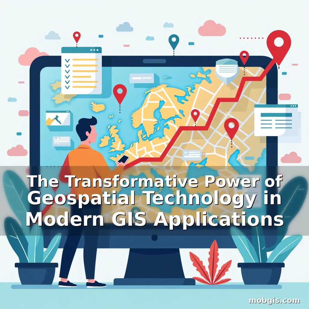
The Transformative Power of Geospatial Technology in Modern GIS Applications
In an era where location intelligence shapes everything from urban development to climate research, geospatial technology has emerged as a cornerstone of innovation. This powerful fusion of geography and data science enables us to visualize, analyze, and interpret spatial information across various domains.
From mapping natural disasters to optimizing supply chains, geospatial tools are redefining how we interact with our physical world. As mobile GIS platforms continue evolving, their impact on both professionals and everyday users is becoming increasingly profound.
Fundamental Concepts of Geospatial Technology
At its core, geospatial technology involves capturing, storing, analyzing, and presenting data related to positions on Earth’s surface. These systems rely heavily on coordinates, which form the foundation of any geographic representation.
Data collection methods vary widely but typically include satellite imagery, GPS tracking, aerial photography, and ground surveys. Each technique offers unique advantages depending on the application requirements and environmental conditions.
- Satellite Imagery: Provides high-resolution views of large areas at regular intervals, essential for monitoring changes over time
- GPS Tracking: Enables precise real-time location determination crucial for navigation and logistics management
Once collected, these datasets undergo rigorous processing through specialized software that transforms raw numbers into meaningful visualizations. The final output often includes maps, charts, or three-dimensional models tailored to specific needs.
Evolution of Geospatial Tools and Technologies
The history of geospatial technology dates back to ancient times when early civilizations used celestial bodies for navigation. However, modern advancements have revolutionized this field dramatically since the mid-20th century.
With the advent of computers and digital mapping technologies, geospatial analysis became more accurate and accessible than ever before. Today’s sophisticated algorithms can process vast amounts of spatial data within seconds.
Pivotal Moments in Development
One significant milestone occurred in 1958 with the launch of the first weather satellite by NASA. This event marked the beginning of systematic remote sensing capabilities on a global scale.
Later, the introduction of Global Positioning System (GPS) satellites during the 1970s transformed navigation accuracy worldwide. By the late 1990s, commercial applications began leveraging these technologies extensively.
The emergence of Geographic Information Systems (GIS) software further accelerated progress by allowing users to integrate different types of spatial data seamlessly. Open-source initiatives also played a vital role in democratizing access to advanced geospatial tools.
Diverse Applications Across Industries
Geospatial technology finds extensive use across numerous sectors including agriculture, transportation, public safety, and environmental conservation. Its versatility makes it indispensable for solving complex challenges efficiently.
Agricultural producers utilize precision farming techniques enabled by geospatial analytics to optimize crop yields while minimizing resource consumption. Similarly, urban planners employ these tools to design smarter cities that accommodate growing populations effectively.
- Transportation Management: Real-time traffic monitoring helps reduce congestion and improves emergency response times significantly
- Disaster Response: Accurate risk assessments guide evacuation plans and aid distribution efforts during crises
Public health officials benefit immensely from disease mapping capabilities that identify outbreak patterns quickly. Such insights enable targeted interventions that save lives and prevent epidemics from spreading uncontrollably.
Mobile GIS and Location-Based Services
The rise of smartphones equipped with built-in GPS receivers has ushered in a new era for mobile GIS applications. Users now have instant access to location-based services that enhance daily experiences considerably.
Navigation apps like Google Maps exemplify how geospatial technology simplifies route finding for millions globally. Additionally, augmented reality features overlay virtual information onto real-world environments enhancing user engagement uniquely.
Impact on Business Operations
Businesses leverage geospatial data for market analysis identifying optimal locations for new stores based on foot traffic patterns. Retailers use heatmaps generated from customer movement data to maximize sales potential strategically.
Field service industries apply mobile GIS solutions to streamline operations ensuring technicians reach job sites promptly reducing downtime costs substantially. Integration with IoT devices allows continuous performance monitoring remotely.
Moreover, asset tracking systems help organizations manage inventory levels accurately preventing shortages or excess stock situations. This level of operational efficiency contributes directly to bottom-line improvements.
Educational Opportunities and Career Paths
As demand grows for skilled professionals proficient in geospatial technologies, educational institutions are expanding programs focused specifically on this discipline. Students gain hands-on experience using industry-standard software preparing them well for future roles.
Career opportunities span diverse fields such as cartography, remote sensing, urban planning, and environmental science. Professionals may work in government agencies, private enterprises, or academic settings depending on their interests and expertise.
- Remote Sensing Analyst: Analyzes satellite images to monitor deforestation rates or track ocean currents
- Urban Planner: Designs sustainable city layouts incorporating green spaces and efficient transport networks
Certifications from recognized organizations validate technical skills making candidates more competitive in job markets. Continuous learning remains critical due to rapid technological advancements shaping the sector constantly.
Challenges Facing the Geospatial Industry
Despite its many benefits, geospatial technology faces several obstacles hindering wider adoption. Data privacy concerns arise when collecting personal location information without explicit consent leading to ethical dilemmas.
Technological limitations persist particularly regarding data resolution and processing speed affecting reliability under certain circumstances. Inadequate infrastructure in developing regions restricts access to cutting-edge tools hampering equitable growth globally.
- Data Accuracy Issues: Inconsistent measurement standards between countries create compatibility problems limiting cross-border collaborations
- High Initial Costs: Acquisition of advanced equipment requires substantial investment deterring small businesses from entering the market
Addressing these issues demands coordinated efforts among policymakers, technologists, and end-users alike. Establishing clear regulations around data usage ensures responsible implementation benefiting society broadly.
The Future Landscape of Geospatial Innovation
Ongoing developments promise exciting possibilities for geospatial technology moving forward. Artificial Intelligence integration enhances predictive modeling abilities transforming decision-making processes profoundly.
Advancements in drone technology coupled with improved sensor capabilities offer unprecedented access to previously unreachable areas. These innovations expand research opportunities especially in ecological studies requiring fine-grained observations.
Blockchain implementations could potentially secure geospatial data against tampering increasing trustworthiness notably. As computational power increases exponentially, handling massive datasets becomes feasible opening doors to deeper analytical insights regularly.
Conclusion
Geospatial technology continues reshaping how societies understand and engage with geographical contexts dynamically. Its influence spans countless disciplines proving invaluable for tackling contemporary challenges creatively.
To fully harness its potential, stakeholders must prioritize collaboration fostering inclusive growth aligned with emerging trends responsibly. Embracing continuous improvement will ensure sustained relevance amidst ongoing transformations within the tech landscape continually.
“`