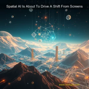
Fathom: A Revolutionary Coastal Documentation System
Teledyne Geospatial has made a significant breakthrough in coastal documentation with the launch of Fathom, a comprehensive system that integrates topographic (topo) Lidar, bathymetric (bathy) Lidars, and a multispectral camera. This innovative approach provides a holistic view of the coastline, enabling users to document every aspect of the coast with unparalleled accuracy and detail.
Key Components of Fathom
Benefits of Fathom
The integration of these three technologies in Fathom offers numerous benefits, including:
Its advanced technology ensures accurate measurements, even in challenging conditions.
Fathom: Revolutionizing Coastal Mapping with Advanced Technology
The Importance of Coastal Mapping
Coastal mapping is a critical component of marine conservation and research. Accurate data on the coastline is essential for understanding the complex interactions between the ocean and the land. This information is used to inform policy decisions, monitor environmental changes, and support sustainable development.
The Challenges of Coastal Mapping
Traditional methods of coastal mapping, such as acoustic surveys, have limitations. These methods can be time-consuming, expensive, and often produce incomplete data. The intertidal zone, in particular, poses significant challenges due to its dynamic nature and limited accessibility.
Introducing Fathom
Fathom is a cutting-edge technology designed to fill the gap in coastal mapping. Its advanced sensors and algorithms enable it to deliver high-quality data over the coastline, even in challenging conditions. Built to meet IHO Special Order standards, Fathom excels in the intertidal zone, providing accurate measurements that were previously impossible to obtain.
How Fathom Works
Fathom uses a combination of sensors and software to collect and process data. Its advanced sensors are capable of detecting subtle changes in the coastline, even in areas with limited visibility. The data is then processed using sophisticated algorithms that account for factors such as tides, currents, and sediment transport.
Benefits of Fathom
Fathom’s real-time quality control ensures that the data collected is accurate and reliable, reducing the risk of human error. With its modern interface, users can easily navigate and access the data they need, making the data collection process more efficient and streamlined.
The Benefits of Fathom’s Real-Time Quality Control
Fathom’s real-time quality control is a game-changer for businesses that rely on accurate and reliable data. By providing users with real-time feedback on their data, Fathom ensures that the data collected is accurate and reliable, reducing the risk of human error. This feature is particularly beneficial for businesses that require high levels of data accuracy, such as those in the finance and healthcare industries. Key benefits of Fathom’s real-time quality control: + Reduces the risk of human error + Ensures data accuracy and reliability + Provides real-time feedback to users + Improves data quality and reduces errors
The Modern Interface of Fathom
Fathom’s modern interface is designed to make data collection more efficient and streamlined. With its intuitive design, users can easily navigate and access the data they need, reducing the time and effort required to collect and analyze data. The modern interface also provides users with real-time data visualization, allowing them to quickly identify trends and patterns in their data. Features of Fathom’s modern interface: + Intuitive design + Real-time data visualization + Easy navigation and access to data + Streamlined data collection process
The Impact of Fathom’s Real-Time Quality Control and Modern Interface on Business Operations
Fathom’s real-time quality control and modern interface have a significant impact on business operations.