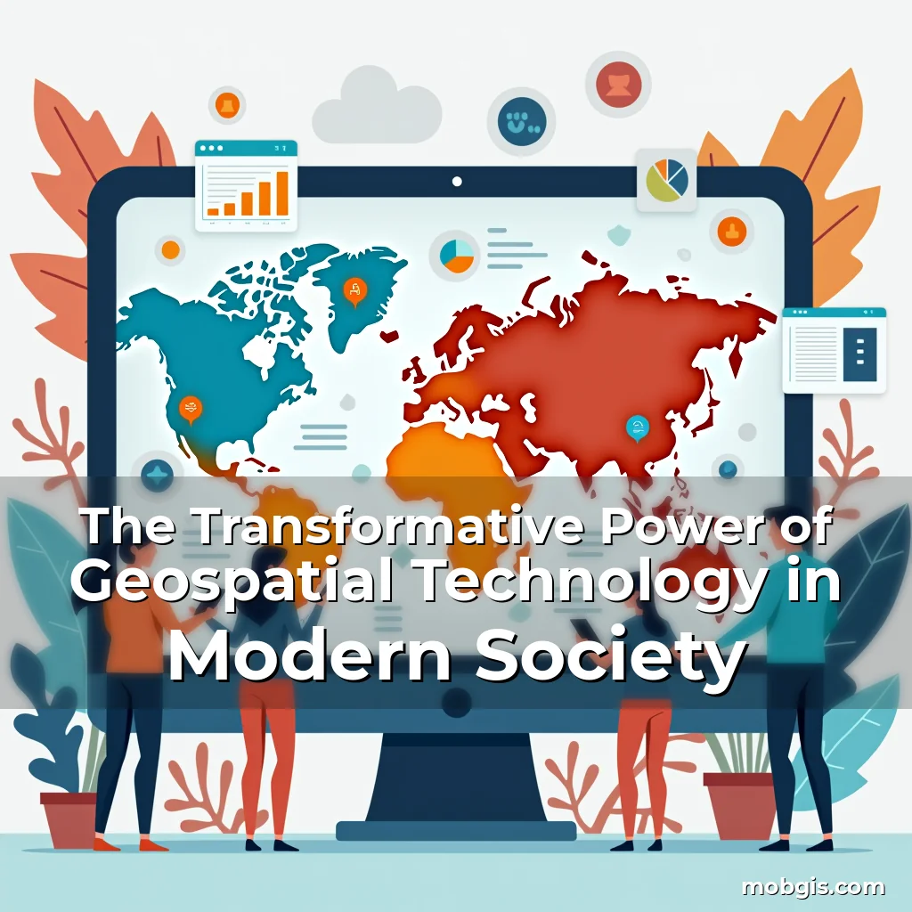
The Transformative Power of Geospatial Technology in Modern Society
Geospatial technology has emerged as a cornerstone of innovation across various industries, fundamentally changing how we interact with our environment and make data-driven decisions. From urban planning to environmental conservation, its impact is profound and far-reaching.
This article explores the multifaceted applications of geospatial technology, delving into its historical evolution, current capabilities, and future potential. We will uncover how it shapes everything from disaster response to business strategies through real-world examples and expert insights.
A Historical Perspective on Geospatial Technology
The roots of geospatial technology trace back centuries when early civilizations used rudimentary maps to navigate their surroundings. These initial attempts at spatial representation laid the groundwork for modern mapping techniques that rely heavily on digital data processing today.
As cartography evolved over time, so did the tools available to mapmakers. The introduction of satellite imagery during the Cold War era marked a significant turning point, enabling precise location tracking previously unimaginable with traditional methods alone.
- Innovation Through Time: Early forms included celestial navigation systems which helped sailors traverse oceans without visible landmarks.
- Digital Revolution: With advancements in computer science came GIS software capable of analyzing vast amounts of geographic information efficiently.
Modern Applications Across Industries
Today’s geospatial technologies are integral components within numerous sectors such as agriculture, transportation, healthcare, and emergency services among others. Their ability to provide accurate spatial analysis enables professionals to optimize operations significantly.
For instance, farmers utilize precision farming techniques enabled by GPS-guided machinery to monitor soil conditions and apply fertilizers only where necessary—this not only increases crop yields but also reduces environmental impact substantially.
Critical Role In Agriculture
Data collected via drones equipped with multispectral cameras allows agronomists to detect plant health issues before they become visible to the naked eye. This proactive approach ensures timely interventions that prevent yield losses due to pests or disease outbreaks.
Moreover, integrating weather pattern predictions with field-specific data helps create optimal planting schedules tailored specifically towards each region’s microclimate characteristics—an advantage no generalized agricultural practice could offer effectively.
Urban Planning And Smart Cities Initiative
Municipalities worldwide are leveraging geospatial analytics to design smarter cities aimed at improving quality of life while managing resources sustainably. By overlaying demographic data onto geographical layouts, planners can identify underserved areas requiring infrastructure development promptly.
Smart city initiatives often incorporate IoT sensors strategically placed around urban environments; these collect continuous streams of traffic flow, air quality indices, noise levels etc., providing officials with actionable intelligence regarding urban dynamics constantly evolving nature.
Disaster Response And Emergency Management
During natural disasters like hurricanes or earthquakes, rapid deployment of geospatial solutions proves crucial in saving lives. Real-time damage assessments facilitated by drone footage combined with pre-existing vulnerability maps allow rescue teams pinpoint locations needing immediate attention accurately.
Furthermore, predictive modeling based upon historical seismic activity patterns aids governments prepare contingency plans well ahead of possible events thereby minimizing casualties associated with sudden occurrences unexpectedly hitting populated regions.
Environmental Conservation Efforts
Conservationists employ advanced remote sensing technologies alongside ground-truth verification processes to track deforestation rates precisely. High-resolution images captured regularly enable them measure changes occurring within ecosystems over time quantitatively rather than relying solely subjective observations.
Additionally, wildlife corridors designated using GIS tools help maintain genetic diversity amongst animal populations by ensuring safe passage between fragmented habitats caused primarily human encroachment activities expanding continuously across globe.
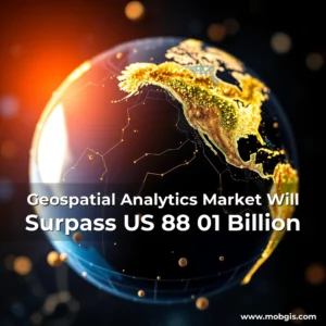
Economic Impacts Of Adopting Geospatial Solutions
Beyond direct benefits seen within targeted fields, widespread adoption geospatial tech stimulates economic growth indirectly too. Increased efficiency achieved through optimized logistics networks translates lower operational costs companies pass savings along consumers ultimately boosting overall market competitiveness globally.
Investment opportunities abound within startup ecosystem focused developing novel geo-enabled products ranging autonomous delivery vehicles utilizing route optimization algorithms right up virtual reality platforms simulating complex terrain scenarios training purposes exclusively.
Challenges Facing Widespread Implementation
Despite immense promise held by geospatial innovations, several hurdles remain impediments broader acceptance adoption globally. Issues surrounding data privacy concerns emerge particularly sensitive contexts involving personal whereabouts tracked extensively everyday devices smartphones tablets now commonplace items household inventory.
Sometimes technical limitations exist certain regions lacking sufficient broadband connectivity required transmitting large volumes spatial datasets reliably quickly enough support dynamic decision-making frameworks essential contemporary governance models increasingly dependent real-time feedback loops operating smoothly consistently.
Fostering Collaboration For Future Growth
To fully realize untapped potentials offered geospatial domain requires concerted efforts stakeholders including government agencies private enterprises academic institutions civil society organizations alike. Partnerships foster knowledge sharing accelerate technological breakthroughs address pressing global challenges collaboratively instead competing individually against same problems persistently arising irrespective geopolitical boundaries separating nations currently engaged mutually beneficial dialogues exploring cooperative ventures potentially transformative scale.
Initiatives promoting open-source mapping projects encourage communities participate creating maintaining updated databases reflecting local realities accurately comprehensively thereby enhancing reliability trustworthiness information utilized subsequent phases strategic planning execution thereof consequently leading improved outcomes desired objectives pursued collectively.
Conclusion
Geospatial technology stands at forefront revolutionizing way humans perceive understand manipulate physical world around them through sophisticated analytical methodologies applied diverse situations universally applicable contexts.
By embracing continued investment research development innovative applications emerging disciplines intersecting geospatial sciences artificial intelligence machine learning ethics digital rights awareness balance progress protection individual freedoms simultaneously advancing societal welfare prosperity equitably distributed across entire planet Earth.
news is a contributor at MobGIS. We are committed to providing well-researched, accurate, and valuable content to our readers.