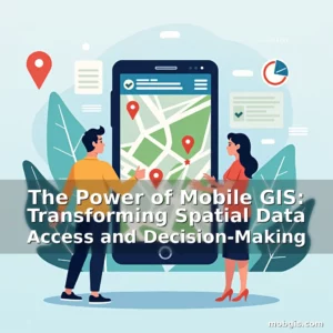
The Future is Mobile: Revolutionizing Geographic Information Systems Through Mobility
In an era where location intelligence defines business strategies and urban development plans, mobile GIS has emerged as a game-changer across industries ranging from emergency response to environmental conservation. This technology empowers users to collect, analyze, and visualize geospatial data while on the move, transforming how we interact with our physical world.
The integration of GPS, mapping software, and cloud computing has created new possibilities that were once confined to desktop environments. As smartphones become more powerful and internet access expands globally, the potential applications of mobile GIS continue to grow at an unprecedented pace.
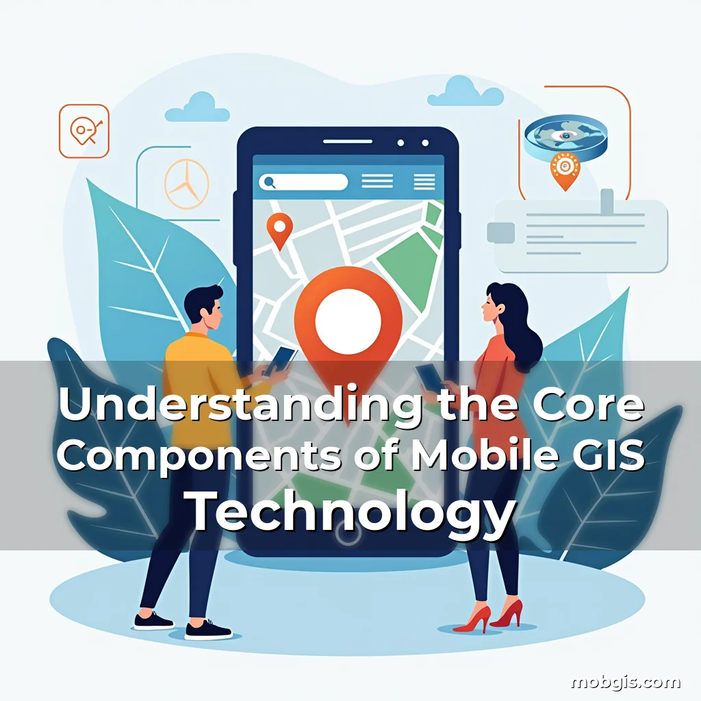
Understanding the Core Components of Mobile GIS Technology
Mobile GIS combines several key technologies to enable real-time spatial analysis and decision-making. At its foundation lies the Global Positioning System (GPS), which provides precise location coordinates essential for accurate map rendering and navigation.
Data collection forms another critical component, allowing field workers to gather information through mobile devices equipped with cameras, sensors, and specialized apps. This data can include everything from soil samples to infrastructure conditions, captured instantaneously in the field.
Data transmission capabilities ensure seamless communication between mobile units and central databases. Modern solutions leverage both cellular networks and satellite links to maintain connectivity even in remote areas with limited terrestrial coverage.
Cloud-based storage and processing power complete the ecosystem by enabling scalable data management and advanced analytics. Users can now perform complex geographic queries without relying on local hardware limitations.
- Location accuracy: Advanced GNSS receivers offer centimeter-level precision crucial for surveying and construction projects.
- Offline functionality: Many platforms support caching mechanisms that allow data capture and basic analysis when internet connectivity is unavailable.
Transformative Applications Across Industries
Emergency services have experienced a paradigm shift with the adoption of mobile GIS tools. First responders can quickly assess incident locations, track resource availability, and coordinate rescue operations using real-time maps updated from various sources.
The transportation sector benefits significantly from mobile GIS implementations. Fleet managers monitor vehicle positions, optimize routes dynamically based on traffic patterns, and reduce fuel consumption through intelligent routing algorithms.
Environmental scientists use these systems to conduct biodiversity surveys, monitor deforestation rates, and respond promptly to natural disasters. Drones integrated with mobile GIS platforms enhance data collection efficiency in hard-to-reach ecosystems.
Healthcare Innovations Powered by Mobile GIS
Public health officials utilize mobile GIS to trace disease outbreaks, allocate medical resources efficiently, and plan vaccination campaigns. During pandemics, such systems help identify hotspots and predict spread patterns using demographic data overlays.
A recent study showed that healthcare providers employing mobile GIS reduced patient wait times by up to 40% through optimized ambulance dispatch systems. These improvements are particularly impactful in rural regions with sparse medical facilities.
Educational Advancements Through Mobile GIS Integration
Academic institutions incorporate mobile GIS into curricula to provide hands-on learning experiences. Students engage in fieldwork activities that require collecting spatial data, analyzing patterns, and presenting findings through interactive digital maps.
This approach enhances geographical understanding beyond traditional classroom settings. By working with actual datasets, learners develop skills applicable to careers in urban planning, agriculture, and disaster management.
Digital storytelling techniques combined with GIS data create immersive educational modules. For instance, history students might explore ancient trade routes overlaid with current political boundaries and climate change indicators.
Challenges and Ethical Considerations
Despite its many advantages, mobile GIS presents significant privacy concerns. Location tracking features can potentially expose sensitive personal information if not properly secured against unauthorized access.
Data integrity remains another challenge, especially when dealing with crowdsourced inputs. Ensuring consistency and reliability requires robust validation processes before integrating user-generated geospatial content.
There’s also the issue of technological disparity; communities lacking sufficient smartphone penetration may face disadvantages in accessing vital location-based services during crises or developmental initiatives.
Emerging Trends Shaping the Future of Mobile GIS
Augmented reality (AR) is beginning to merge with mobile GIS to create more intuitive interfaces for spatial data visualization. Imagine walking through a city street while seeing historical building structures superimposed over their present-day counterparts via your smartphone camera.
Artificial intelligence integration enables predictive modeling capabilities within mobile GIS platforms. Machine learning algorithms process vast amounts of geospatial data to forecast events like flood risks or population growth trends accurately.
IoT compatibility represents another frontier. Smart sensors connected to mobile GIS systems continuously transmit environmental metrics—air quality levels, temperature fluctuations—which feed into broader urban monitoring frameworks.
Bridging the Gap Between Citizens and Geospatial Data
Municipal governments increasingly deploy open-source mobile GIS applications to empower citizens with transparent access to public works data. Residents can report potholes, request garbage pickups, or track road maintenance schedules through dedicated mobile portals.
This participatory model fosters civic engagement and improves service delivery efficiency. When residents contribute their observations, cities gain richer datasets that inform better policy decisions regarding infrastructure investments.
Crowdsourcing efforts extend beyond simple reporting functions. Some platforms encourage users to participate in citizen science projects, contributing valuable ground-truth data for scientific research purposes.
The Role of Mobile GIS in Sustainable Development Goals
United Nations agencies employ mobile GIS extensively to monitor progress towards global sustainability targets. From tracking deforestation rates in developing nations to assessing clean energy transitions worldwide, these systems provide measurable outcomes aligned with SDGs.
Local governments apply similar principles to manage waste disposal programs effectively. Real-time tracking of recycling bins ensures optimal collection schedules, reducing operational costs while increasing overall participation rates among residents.
Sustainable agricultural practices benefit too, as farmers use mobile GIS to determine ideal planting zones based on soil composition analyses and weather forecasts provided through integrated meteorological APIs.
Conclusion
Mobile GIS continues to redefine what’s possible in geospatial data utilization, offering innovative solutions tailored to modern challenges faced by diverse sectors.
To fully harness its transformative potential, stakeholders must prioritize investment in secure infrastructures, equitable access policies, and continuous innovation cycles that adapt to evolving technological landscapes.
“`
news is a contributor at MobGIS. We are committed to providing well-researched, accurate, and valuable content to our readers.