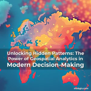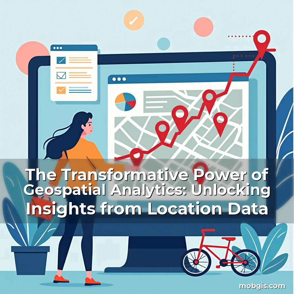
The Transformative Power of Geospatial Analytics: Unlocking Insights from Location Data
In an era where data drives decisions, geospatial analytics has emerged as a powerful tool that transforms raw location-based information into meaningful insights. By analyzing spatial relationships, patterns, and trends across geographic areas, organizations can make informed choices that impact everything from urban planning to environmental conservation.
This article delves deep into the world of geospatial analytics, exploring its applications, technologies, challenges, and future potential. Whether you’re a seasoned professional or new to the field, understanding how location intelligence shapes our world is essential for navigating modern challenges and opportunities.
Fundamentals of Geospatial Analytics
Geospatial analytics involves the process of examining data related to geographical locations using specialized software tools and techniques. This form of analysis enables users to visualize, interpret, and understand complex spatial relationships, patterns, and trends within datasets.
At its core, geospatial analytics relies on Geographic Information Systems (GIS), which serve as platforms for capturing, managing, analyzing, and displaying all forms of geographically referenced information. These systems integrate various types of data—ranging from satellite imagery to demographic statistics—to provide comprehensive views of any given area.
The importance of geospatial analytics lies in its ability to reveal hidden correlations and dependencies among different variables at specific locations. For instance, by overlaying traffic congestion maps with population density layers, planners can identify areas requiring infrastructure improvements without relying solely on anecdotal evidence.
Moreover, advancements in technology have expanded the scope and accuracy of geospatial analyses significantly over recent years. Innovations such as high-resolution remote sensing satellites enable researchers to monitor changes in land use patterns with unprecedented precision, while machine learning algorithms enhance predictive modeling capabilities across diverse industries.
- Data Integration: One key aspect of effective geospatial analytics is integrating disparate sources of spatially-referenced data. This includes merging topographical surveys with socioeconomic indicators so that analysts can explore multidimensional impacts on communities.
- Spatial Analysis Techniques: Various analytical methods are employed depending upon objectives; these range from basic proximity queries determining nearest facilities down through advanced operations like suitability modeling used extensively during site selection processes.
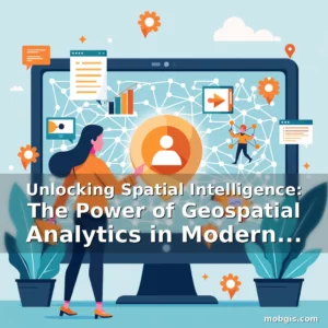
Applications Across Industries
The versatility of geospatial analytics makes it applicable across numerous sectors including agriculture, healthcare, transportation, real estate, energy exploration, disaster management, and even entertainment.
In agriculture, farmers utilize geospatial technologies for precision farming practices aimed at optimizing crop yields while minimizing resource usage. GPS-guided tractors apply variable rate application strategies based upon soil nutrient levels detected via drone-mounted sensors—a far cry from traditional uniform seeding approaches.
Healthcare professionals benefit immensely from geospatial mapping when tracking disease outbreaks or assessing access disparities in medical services delivery. During pandemics, visualizations help public health officials quickly allocate resources effectively by highlighting hotspots needing immediate attention.
Transportation authorities leverage GIS tools not only for route optimization but also for accident pattern recognition enabling proactive safety measures implementation before incidents occur frequently along certain roads segments.
Real estate developers employ sophisticated geoanalytics models to determine optimal project placements considering factors like zoning regulations, existing infrastructures availability, and anticipated growth trajectories within target neighborhoods.
Environmental Monitoring & Conservation Efforts
One particularly impactful application area is environmental monitoring where geospatial analytics plays critical roles in climate change mitigation efforts and biodiversity preservation initiatives alike.
Scientists track deforestation rates through historical comparisons made possible by satellite image archives accessible online today—an approach that would’ve taken months manually decades ago. Similarly, wildlife corridors identification aids conservationists working towards preventing habitat fragmentation issues threatening endangered species survival chances globally.
Australian bushfire response teams recently showcased how timely aerial surveillance combined with predictive fire spread simulations helped save thousands lives during intense wildfire seasons last year—demonstrating practical value beyond theoretical discussions surrounding emergency preparedness frameworks.
These examples illustrate how integral geospatial analytics has become in addressing some most pressing global challenges we face currently regarding sustainability goals set forth under international agreements like Paris Climate Accord.
Technological Foundations Supporting Modern Geospatial Analytics
To fully harness the power behind geospatial analytics, robust technological foundations are necessary—from hardware components required for data collection up until cloud computing architectures facilitating large scale processing tasks efficiently.
Drones equipped with LiDAR scanners represent cutting edge solutions available now allowing rapid acquisition of highly accurate three-dimensional terrain models useful both civil engineering projects and archaeological excavations seeking non-invasive methodologies.
Meanwhile, the rise of big data analytics has pushed boundaries further forward permitting simultaneous handling millions records containing geographical coordinates alongside other attributes traditionally treated separately due limitations imposed earlier versions of database management systems.
CLOUD INFRASTRUCTURES NOW PROVIDE SCALABLE STORAGE AND COMPUTATIONAL RESOURCES ESSENTIAL FOR RUNNING COMPLEX SPATIAL MODELS INVOLVING TENS OF THOUSANDS TO MILLIONS FEATURE POINTS ACCROSS MULTIPLE DIMENSIONS.
Additionally, open-source libraries like QGIS offer cost-effective alternatives compared proprietary packages often associated higher licensing fees yet maintain comparable functionalities suitable wide variety users regardless their budget constraints.
Emerging Trends Shaping Future Of Geospatial Analytics
As digital transformation accelerates rapidly around globe, several emerging trends promise reshape landscape geospatial analytics going ahead—including integration artificial intelligence machine learning methodologies enhancing traditional statistical approaches previously relied upon heavily.
Artificial Intelligence (AI) powered geolocation services already demonstrating impressive results concerning automatic feature extraction from remotely sensed images reducing manual labor intensive tasks once considered fundamental parts workflow pipelines established many research institutions worldwide.
MACHINE LEARNING ALGORITHMS ARE BECOMING MORE EFFECTIVE AT PREDICTING FUTURE EVENTS BASED UPON HISTORICAL PATTERNS OBSERVED THROUGHOUT VAST DATASETS CONTAINING GEOGRAPHIC COORDINATES AS WELL OTHER VARIABLES SUCH WEATHER CONDITIONS OR ECONOMIC INDICES.
Furthermore, augmented reality interfaces coupled immersive visualization experiences present exciting possibilities making abstract representations tangible thus improving comprehension levels especially amongst stakeholders lacking technical backgrounds typical found within academic circles.
Collaboration between tech giants startups fostering innovation ecosystem driving continuous evolution space—examples include Google Earth Engine platform enabling scientists analyze planetary-scale phenomena leveraging massive repositories satellite imagery processed automatically whenever updates received.
Challenges And Limitations Within Field
Despite immense potential offered geospatial analytics domain still faces considerable hurdles restricting widespread adoption particularly developing regions lacking adequate infrastructure investments needed support sophisticated workflows reliably.
Data privacy concerns remain significant issue affecting willingness individuals share personal location histories potentially exposing sensitive behavioral tendencies unless stringent security protocols implemented protecting against unauthorized access attempts.
Lack standardization formats adopted globally leads interoperability problems hindering seamless exchange information across different platforms ecosystems—this challenge becomes increasingly pronounced when dealing heterogeneous data sources originating varied jurisdictions regulatory environments.
Economic barriers pose another substantial obstacle limiting access premium analytical tools exclusive few well-resourced organizations leaving smaller entities unable compete fairly marketplaces dominated larger corporations wielding superior computational capacities.
Finally ethical considerations cannot overlooked—especially contexts involving surveillance activities raising questions legality extent governmental bodies permitted monitor citizens movements without explicit consent obtained beforehand.
Case Studies Demonstrating Real World Impact
To better appreciate transformative nature geospatial analytics let examine couple case studies showcasing successful implementations yielding measurable outcomes across varied domains.
During Hurricane Sandy relief operation New York City utilized GIS technology coordinate rescue missions prioritize aid distribution ensuring vulnerable populations received assistance promptly despite chaotic conditions prevailing aftermath storm struck coastlines densely populated urban centers.
Similarly, Nairobi slum upgrading programs incorporated participatory mapping exercises empowering residents contribute local knowledge identifying priority improvement needs thereby increasing transparency accountability government agencies tasked implementing reforms successfully.
In retail sector Walmart leveraged geospatial analytics optimize store layouts improve customer navigation experience leading increased footfall sales figures reported quarterly reports published publicly company website regularly updated latest financial metrics.
Lastly, Singapore’s Smart Nation initiative showcases holistic approach integrating IoT devices connected central dashboard providing real-time visibility citywide activities helping authorities respond swiftly emergencies manage day-to-day operations efficiently maintaining high standards living quality expected metropolis constantly pushing envelope urban development innovations.
Future Outlook And Opportunities Ahead
Looking toward horizon promising developments await geospatial analytics enthusiasts eager embrace upcoming wave disruptions poised redefine industry norms establish new benchmarks excellence.
With continued investment R&D sectors expect witness emergence novel applications previously unimaginable—such autonomous vehicles utilizing dynamic road condition assessments generated continuously through crowdsourced sensor networks embedded smartphones mobile gadgets everyday people carry conveniently.
Potential partnerships forming between academia private enterprises aiming tackle grand challenges facing humanity collectively—climate resilience planning disaster risk reduction strategies require collaborative effort transcending borders cultures promoting inclusive sustainable growth paths benefiting everyone irrespective geographical origins.
Advancements microchip manufacturing facilitate miniaturization components involved geospatial equipment ultimately resulting portable handheld units capable performing complex calculations formerly reserved bulky desktop computers located centralized laboratories equipped state-of-art machinery costing fortunes acquire initially.
Ultimately, staying abreast evolving landscape crucial ensure relevance competitiveness amidst fierce competition characterizing contemporary marketplace demands agility adaptability traits valued above all else nowadays.
Conclusion
Geospatial analytics stands out as a vital discipline bridging gap between physical spaces virtual representations thereof offering profound implications countless fields shaping way societies function interact environment daily basis.
By embracing geospatial analytics, organizations and individuals gain unparalleled advantages in decision-making, problem-solving, and strategic planning. As the field continues to evolve, those who invest time in understanding its principles and applications will find themselves at the forefront of innovation and progress.