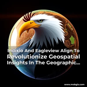
Strategic Alliance for Enhanced Data-Driven Decision Making
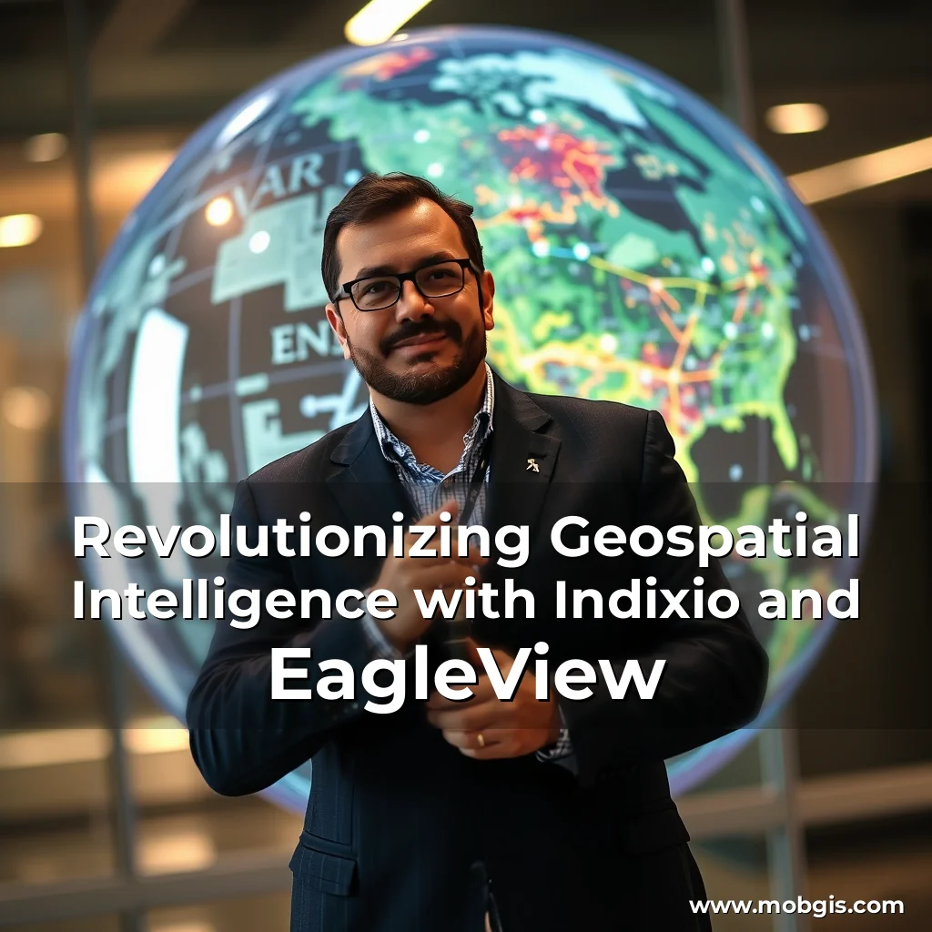
Saint-Hubert, Quebec and Rochester, NY, April 03, 2025 – Indixio, a leading provider of Information Management Solutions and Geomatics, has announced an exciting strategic alliance with EagleView, a renowned leader in geospatial technology. This groundbreaking partnership aims to revolutionize location-based intelligence, empowering users with an unparalleled solution for data-driven decision-making. The partnership brings together the innovative concepts of enterprise content management and geospatial data management, simplifying the complexities of information management. With the IDX Connector enabled for EagleView, Indixio’s clients can now visualize EagleView’s high-resolution aerial images in GoMap, a robust web mapping platform used to publish and edit georeferenced data. This enables users to extract critical information from imagery, leveraging their existing data and knowledge about the environment. Danick Venne, CEO of Indixio, emphasizes the significance of this alliance, stating: “The IDX Connector enabled for EagleView is the key to unlocking a new level of geospatial insights within GoMap. This isn’t just about maps; it’s about revolutionizing how you make decisions.” He further elaborates, “At Indixio, we’ve always strived to simplify the complexities of information management. Now, alongside EagleView, we’re taking it a step further. Our mission is clear: to empower organizations with the tools they need to make data-driven decisions confidently and accurately.”
Joe Oddi, Director of Partner Strategies at EagleView, echoes the sentiment, saying: “We are thrilled to be integrating with Indixio, a company that shares our vision for the transformative power of imagery-derived insights. Through the IDX Connector enabled for EagleView, we are leveraging our rich data and imagery library to bring organizations unprecedented clarity and insights.”
Unlocking Enhanced Geospatial Insights
The partnership enables users to perform precise measurements directly in GoMap, providing a 360-degree view of locations. This deeper understanding of the environment is further amplified by Indixio’s analytics, which extract invaluable insights. This is an essential solution for generating land maps, street centerlines, and planimetric data. Some of the key benefits of this partnership include:
•
- Viewing EagleView’s high-resolution oblique and orthogonal imagery directly in GoMap, providing a 360-degree view of locations.
- Extracting critical information from imagery, leveraging existing data and knowledge about the environment.
- Simultaneously comparing multiple sets of imagery, tracking changes over time, and displaying base layers like street names and contour lines.
- Exporting visible areas as PDF.
These features enable users to operate more efficiently, make decisions more confidently, and better serve stakeholders.
About the Partners
Indixio is a leading provider of Information Management Solutions and Geomatics, specializing in intelligent information management solutions. Founded in 2000, Indixio has been recognized for its exceptional customer service and unparalleled technical support across Canada and the United States. EagleView is a leader in geospatial technology, providing solutions that revolutionize how its customers work. With an expansive 3 billion+ imagery library, EagleView offers property intelligence covering 94 percent of the U.S. population and imagery covering more than 65% of Canada’s four largest provinces.
Contact Information
For more information about how the IDX Connector enabled for EagleView can cater to your specific needs, visit Indixio’s website or contact Michelle Wall at Michelle Wall at Indixio. To learn more about EagleView’s high-resolution aerial imagery and the benefits for local governments, visit EagleView’s website.
About the Authors
This article was written by Michelle Wall at Indixio and Kristina Libby at EagleView. For more information, please contact Michelle Wall at Michelle Wall at Indixio or Kristina Libby at Kristina Libby at EagleView.
news is a contributor at MobGIS. We are committed to providing well-researched, accurate, and valuable content to our readers.