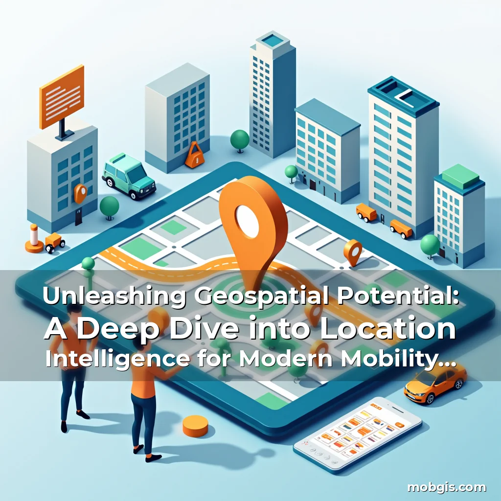
Unleashing Geospatial Potential: A Deep Dive into Location Intelligence for Modern Mobility Solutions
In today’s rapidly evolving digital landscape, location intelligence stands out as a transformative force reshaping how we navigate, analyze, and interact with spatial data. This powerful tool merges geographic information science with advanced analytics to unlock insights previously hidden within vast datasets.
For professionals in the MobGIS community and beyond, mastering location intelligence opens doors to smarter decision-making across industries ranging from urban planning to logistics optimization. Its impact extends far beyond simple mapping capabilities, influencing everything from emergency response systems to personalized marketing campaigns.
The Core Principles of Location Intelligence
At its foundation, location intelligence leverages geographic data combined with analytical techniques to derive meaningful patterns and predictions. This multidisciplinary field draws upon cartography, statistics, machine learning, and domain-specific knowledge to extract value from spatial relationships.
The core principle revolves around transforming raw geospatial data into actionable intelligence. By overlaying demographic information, environmental factors, and behavioral patterns onto maps, analysts reveal correlations that drive strategic decisions. This synthesis enables organizations to identify emerging trends long before they become visible through traditional methods.
- Data Integration: Merging disparate sources including satellite imagery, GPS tracking, social media check-ins, and sensor networks creates comprehensive situational awareness
- Spatial Analysis: Techniques like hot spot detection, proximity modeling, and network analysis uncover complex geographical interactions shaping human behavior and infrastructure performance
- Predictive Modeling: Machine learning algorithms trained on historical location data forecast demand fluctuations, optimize resource allocation, and anticipate potential disruptions
Transformative Applications Across Industries
Location intelligence has revolutionized urban planning by enabling predictive city design that anticipates population growth, traffic congestion, and service demands. Smart city initiatives now employ dynamic models to simulate scenarios before implementing physical changes to infrastructure.
In the transportation sector, real-time fleet management systems powered by location intelligence reduce operational costs by up to 20% while improving delivery times. These systems continuously monitor vehicle positions, fuel consumption patterns, and road conditions to dynamically reroute shipments and prevent delays.
Healthcare Revolution Through Spatial Analytics
Hospitals utilizing location intelligence have achieved remarkable improvements in emergency response times. By analyzing historical incident data alongside ambulance route efficiency metrics, medical facilities can strategically position resources to minimize patient wait times during critical situations.
This technology also aids epidemiological research by identifying disease clusters through spatiotemporal pattern recognition. During public health crises, authorities can deploy targeted interventions based on precise geographic risk assessments rather than broad regional measures.
Technological Foundations Enabling Modern Location Intelligence
The evolution of mobile devices equipped with high-precision GNSS receivers has dramatically improved location accuracy. Coupled with cloud computing capabilities, these advances allow for near-instantaneous processing of massive geospatial workloads that were previously computationally prohibitive.
Advancements in edge computing now enable local device processing of location-based queries without relying solely on centralized servers. This reduces latency in applications requiring immediate responses, such as autonomous vehicles navigating complex urban environments with millisecond-level precision.
- AI-Powered Pattern Recognition: Neural networks trained on terabytes of geospatial data detect subtle anomalies in movement patterns that indicate infrastructure degradation or unusual activity
- Distributed Sensor Networks: Internet-connected sensors embedded in roads, buildings, and natural landscapes provide continuous streams of contextual data enhancing spatial awareness
- Federated Learning Models: Privacy-preserving machine learning approaches train algorithms on decentralized datasets without compromising individual location data security
Navigating Challenges in Implementation
Despite its promise, deploying effective location intelligence solutions requires overcoming significant hurdles related to data quality and interoperability. Legacy systems often lack standardized formats, making seamless integration of new geospatial capabilities difficult to achieve.
Privacy concerns represent another critical challenge as increased reliance on personal location data raises questions about appropriate usage boundaries. Striking the right balance between utility and protection remains an ongoing industry debate with regulatory implications across jurisdictions.
Addressing Data Quality Issues
Approximately 68% of geospatial projects face setbacks due to incomplete or inaccurate source data. Implementing rigorous data validation protocols becomes essential when combining crowdsourced inputs with official records to ensure reliability.
Advanced outlier detection algorithms help identify suspicious data points that may result from faulty sensors or deliberate misinformation attempts. When integrated with automated correction workflows, these systems significantly improve overall dataset integrity.
Evolving Trends Shaping the Future of Location Intelligence
The rise of augmented reality interfaces is redefining how users engage with location-based services. As AR glasses become more sophisticated, integrating them with location intelligence platforms promises immersive experiences that blend virtual information seamlessly with physical surroundings.
Quantum computing breakthroughs threaten to disrupt current geospatial processing paradigms. While still in early stages, quantum-enhanced algorithms show potential to solve complex routing problems orders of magnitude faster than classical counterparts.
- Volumetric Data Processing: Three-dimensional spatial databases now handle petabyte-scale LiDAR scans and photogrammetric models with unprecedented fidelity
- Temporal Dimensional Analysis: Time-series geospatial modeling allows prediction of phenomena like weather patterns or crowd movements with greater temporal resolution
- Cognitive Mapping Interfaces: Brain-computer interface research explores direct neural input for intuitive map navigation and spatial reasoning enhancement
Case Studies Demonstrating Real-World Impact
A European metropolis implemented a predictive maintenance system using location intelligence that reduced streetlight failures by 42%. By analyzing historical repair logs alongside environmental variables, technicians prioritized inspections where failures were statistically most likely.
An e-commerce giant optimized warehouse locations using geospatial clustering algorithms, achieving a 29% reduction in last-mile delivery costs. Their model considered not just population density but also freight corridor efficiencies and labor availability factors.
Rural Connectivity Improvements
In remote regions lacking broadband access, location intelligence helped identify optimal microgrid placement sites. By evaluating topographical features, solar irradiance levels, and existing power line corridors, planners maximized renewable energy capture while minimizing transmission losses.
These implementations demonstrate how thoughtful application of location intelligence principles transforms theoretical concepts into tangible benefits that enhance quality of life and economic productivity across diverse settings.
Ethical Considerations and Responsible Usage
As location intelligence capabilities expand, so do the ethical responsibilities associated with handling sensitive spatial data. Transparency about data collection practices becomes paramount when dealing with personal movement histories that could potentially expose private behaviors.
Implementing differential privacy mechanisms helps protect individual identities while still allowing aggregate trend analysis. This mathematical approach adds controlled noise to datasets ensuring statistical validity without revealing personally identifiable information.
- Bias Mitigation: Regular audits of geospatial algorithms detect unintended discrimination patterns that might emerge from training data imbalances
- Consent Frameworks: Clear opt-in/opt-out mechanisms give individuals control over how their location data contributes to collective intelligence models
- Accountability Measures: Establishing clear lines of responsibility for data misuse ensures swift remediation when ethical violations occur
Empowering Decision-Making Through Intelligent Insights
Location intelligence equips organizations with unparalleled visibility into spatial dynamics that influence business outcomes. Whether predicting market opportunities or mitigating disaster risks, these insights transform reactive strategies into proactive planning frameworks.
Integrating location intelligence into enterprise architectures requires careful consideration of data governance policies, technological compatibility, and workforce skill development. Successful adoption depends on cultivating cross-functional teams capable of translating geospatial findings into actionable business strategies.
- Talent Development: Specialized training programs bridge the gap between geospatial experts and domain specialists needing location-aware analytics
- Interoperability Standards: Adopting common geospatial data exchange formats facilitates collaboration across different organizational silos
- Continuous Improvement: Feedback loops measuring the impact of location-driven decisions refine models and enhance future forecasting accuracy
Conclusion
The journey through location intelligence reveals its profound potential to reshape modern society by unlocking deeper understanding of our spatial world. From optimizing daily commutes to advancing global scientific research, this discipline continues to evolve at breakneck speed.
To fully harness its power, stakeholders must commit to responsible innovation that balances technological advancement with ethical stewardship. Embracing location intelligence isn’t merely adopting new tools—it’s embracing a paradigm shift in how we perceive and interact with our planet’s intricate geography.
“`
news is a contributor at MobGIS. We are committed to providing well-researched, accurate, and valuable content to our readers.