Career opportunities in Cartography

Artistic representation for Career opportunities in Cartography

The Origins of Cartography

Cartography, the art and science of map-making, has a rich and diverse history that spans thousands of years. From ancient civilizations to modern-day technologies, cartography has evolved significantly over time, influenced by various factors such as technological advancements, cultural exchange, and societal needs.

Early Cartography

  • The earliest known maps date back to ancient civilizations in Mesopotamia, Egypt, and Greece, where cartographers used simple symbols and illustrations to represent geographical features. The ancient Greeks, in particular, made significant contributions to cartography, with philosophers like Eratosthenes accurately measuring the circumference of the Earth. The Romans also played a crucial role in the development of cartography, with cartographers like Pliny the Elder creating detailed maps of the Roman Empire. ## The Role of Cartographers in Society*
  • The Role of Cartographers in Society

    Cartographers have always played a vital role in shaping our understanding of the world. From navigation and exploration to urban planning and environmental monitoring, cartographers have contributed significantly to various fields.

    Critical Cartography

  • Cartographers are not just limited to creating visual representations of geographical data; they also engage with critical theory, questioning the role of maps in shaping power dynamics and social structures. This critical approach to cartography highlights the importance of considering the social, cultural, and political contexts in which maps are created and used. By examining the power dynamics embedded in maps, cartographers can better understand how they reflect and shape societal attitudes and behaviors.

    They use various techniques to convey information effectively and aesthetically.

    The Role of Cartographers in Modern Society

    Cartographers play a vital role in modern society, contributing to various fields such as urban planning, environmental conservation, and emergency response. Their work has a direct impact on decision-making processes, policy development, and public awareness.

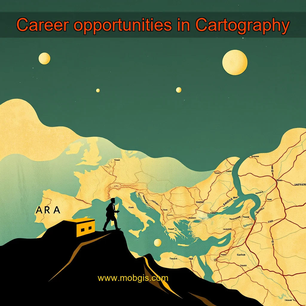
    Key Responsibilities of Cartographers

  • Designing and creating maps for various purposes, including urban planning, environmental conservation, and emergency response
  • Analyzing and interpreting geospatial data to identify patterns and trends
  • Developing and implementing mapping technologies and tools
  • Collaborating with stakeholders to understand their needs and requirements
  • Communicating complex information effectively through maps and visualizations
  • The Importance of Cartographic Skills

    Cartographers require a range of technical skills, including:

  • Geographic Information Systems (GIS) and Remote Sensing (RS)
  • Programming skills in Python, R, or JavaScript
  • Knowledge of cartographic principles and map rhetoric
  • Understanding of spatial analysis and visualization techniques
  • The Art of Map Rhetoric and Representation

    Cartographers use various techniques to convey information effectively and aesthetically.

    GIS and Cartography in the Modern Era

    In the modern era, cartography has evolved significantly, driven by advances in technology and the increasing availability of data. The field has become more specialized, with various institutions and organizations employing cartographers to meet their specific needs.

    Private Sector

    Private companies, such as Google, Apple, and Esri, have become major players in the field of cartography. They invest heavily in research and development, creating innovative mapping technologies that are used in a wide range of applications, from navigation and logistics to urban planning and environmental monitoring. Key features of private sector cartography include: + High-resolution mapping technologies + Integration with other data sources, such as social media and sensor data + Use of cloud-based platforms for data storage and analysis + Development of specialized mapping tools for specific industries, such as aviation and maritime

    Government and NGOs

    Government agencies and non-governmental organizations (NGOs) also employ cartographers to support their work. These organizations often have specific needs, such as mapping disaster zones, tracking climate change, or monitoring public health.

    The writer is Architect, Cartographer and Director at HOSMAC.

    news

    news is a contributor at MobGIS. We are committed to providing well-researched, accurate, and valuable content to our readers.

    You May Also Like

    Artistic representation for Why Cloud Based GIS is the Future of Spatial Data Management GIS user technology news

    Why Cloud Based GIS is the Future of Spatial Data Management GIS user technology news

    Moreover, the desktop-based systems are often expensive, with high maintenance costs.The Rise of Cloud-Based GIS SystemsIn recent years, cloud-based GIS...

    Artistic representation for Blockchain to power ride hailing fleet Malaya Business Insight

    Blockchain to power ride hailing fleet Malaya Business Insight

    The partnership aims to provide users with a seamless experience across multiple platforms.The Partnership: A Seamless Experience Across Multiple PlatformsThe...

    Artistic representation for Transforming urban land records: central india's premier english daily launches revolutionary program response: transforming urban land records: central india's premier english daily launches revolutionary program!

    Transforming urban land records: central india's premier english daily launches revolutionary program response: transforming urban land records: central india's premier english daily launches revolutionary program!

    The goal is to provide accurate and up-to-date information on urban land use, ownership, and boundaries.The Need for a Modern...

    Artistic representation for Apple Maps follows Donald Trump order renames Gulf of Mexico to Gulf of America

    Apple Maps follows Donald Trump order renames Gulf of Mexico to Gulf of America

    The Changing Tides of Geographical NamesThe Gulf of Mexico has undergone a significant transformation, with its name officially changing to...

    About news

    Expert in general with years of experience helping people achieve their goals.

    View all posts by news →

    Leave a Reply

    About | Contact | Privacy Policy | Terms of Service | Disclaimer | Cookie Policy
    © 2026 MobGIS. All rights reserved.