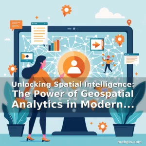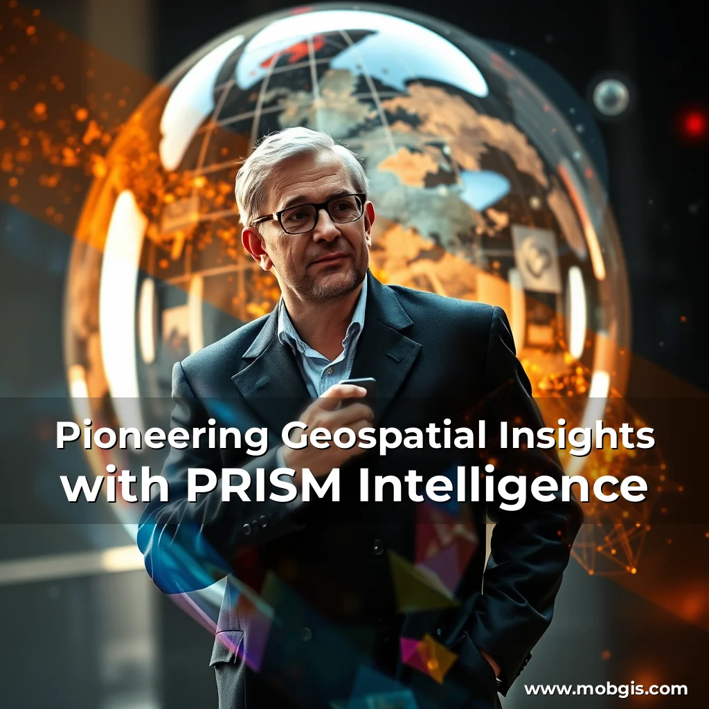
Every day, vast amounts of remote sensing data are collected through satellites, drones, and aerial imagery, but for most businesses and individuals, accessing and extracting meaningful insights from this data is nearly impossible. This is where PRISM Intelligence comes in—a game-changing platform that is transforming geospatial data into an easy-to-navigate, queryable world.
“PRISM’s technology has the potential to democratize access to geospatial data, making it accessible to a broad community, including small businesses, local governments, and individuals who may not have the resources or expertise to analyze large datasets.”
PRISM is powered by a combination of 3D computer vision, geospatial analytics, and AI-driven insights. This enables the creation of photorealistic, up-to-date digital environments that anyone can interact with, without requiring advanced Geographic Information System (GIS) expertise.
How PRISM Works
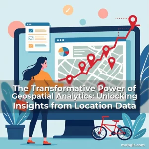
PRISM’s platform uses radiance fields to convert raw 2D imagery into high-fidelity, dynamic 3D visualizations. These models are then enhanced with AI-powered segmentation, which autonomously identifies and labels objects in the environment, such as roads, vehicles, buildings, and natural features. This seamless search and analysis capability allows users to ask natural-language questions to instantly retrieve insights.
Key Features
•
- Personal Real-time Insight from Spatial Maps (PRISM)
- High-fidelity, dynamic 3D visualizations
- AI-powered segmentation
- Conversational interface
- Frictionless, easy-to-use
| Industry | Example Use Cases |
|---|---|
| Insurance | Precise, 3D assessments of properties for risk evaluations and cost reduction |
| Appraisal | Streamlining risk evaluations and improving accuracy through 3D site visits |
| Local Government | Managing infrastructure, tracking zoning compliance, and allocating resources based on real-time, high-resolution urban insights |
| Science | Better understanding changes to ecosystems and vegetation through consistent updates and layers of three-dimensional data |
The team behind PRISM is working to scale its capabilities and expand its applications. They aim to enhance the technical performance of the platform while adding data sources to enable coverage of more regions. Future iterations will further improve automation of data processing, increasing the speed and efficiency of real-time 3D reconstructions.
Impact and Future Plans
PRISM has the potential to revolutionize the way geospatial data is accessed and analyzed. By providing fast, reliable, and up-to-date insights that can be used across multiple industries, PRISM could:
- Streamline risk evaluations and reduce costs in the insurance and appraisal industries
- Improve resource allocation and urban planning in local governments
- Enhance scientific research and better understand changes to ecosystems and vegetation
As PRISM moves forward, the team remains committed to expanding access to geospatial insights, ensuring that anyone—from city planners to business owners—can make informed decisions using the best possible data.
Quotes from the Team
“PRISM’s technology has the potential to democratize access to geospatial data, making it accessible to a broad community, including small businesses, local governments, and individuals who may not have the resources or expertise to analyze large datasets.” — Maximum Wilder-Smith, Chief Technology Officer, PRISM Intelligence
Maximum Wilder-Smith, CTO of PRISM Intelligence, highlights the significance of pushing the state of the art in radiance fields from research to applications that can impact common tasks. He notes that PRISM creates detailed 3D captures that embed more information than the source pictures. “It’s great being able to push the state of the art in this relatively new domain of radiance fields, evolving it from research to applications that can impact common tasks. From large sets of images, PRISM creates detailed 3D captures that embed more information than the source pictures.” — Maximum Wilder-Smith, Chief Technology Officer, PRISM Intelligence
The impact of PRISM could extend far beyond the realms of geospatial intelligence. By providing a more accessible and user-friendly platform, PRISM has the potential to drive innovation and economic growth across various industries. As PRISM continues to evolve, it is likely that we will see more creative applications and solutions emerge, further solidifying its position as a leader in the field of geospatial technology.
news is a contributor at MobGIS. We are committed to providing well-researched, accurate, and valuable content to our readers.