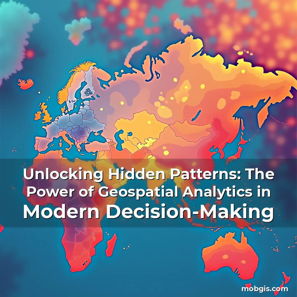
Unlocking Hidden Patterns: The Power of Geospatial Analytics in Modern Decision-Making
In an era where data drives decisions, geospatial analytics has emerged as a transformative force across industries. This powerful discipline combines geography with advanced analytical techniques to uncover insights that were once invisible.
From urban planners optimizing city layouts to epidemiologists tracking disease outbreaks, geospatial analytics enables professionals to visualize complex spatial relationships and make informed choices based on location-based intelligence.
The Evolution of Location Intelligence
Geospatial analytics traces its roots back to ancient cartography but gained momentum with digital mapping technologies. Early systems relied on simple geographic coordinates, while modern implementations leverage vast datasets from satellites, GPS devices, and IoT sensors.
Advancements in computing power have enabled real-time processing of massive geospatial datasets. Today’s analysts can process petabytes of spatial information using cloud-native platforms and machine learning algorithms.
This evolution has created new possibilities for predictive modeling and scenario analysis. Analysts now predict traffic patterns before they occur and simulate natural disasters with unprecedented accuracy.
Fundamental Components of Geospatial Analysis
A robust geospatial analytics system requires several core components working together seamlessly. Geographic Information Systems (GIS) form the backbone by managing spatial data and enabling visual representation through maps and layers.
Data collection methods vary widely depending on application needs. Remote sensing provides satellite imagery, while ground surveys offer precise local measurements. Crowd-sourced data from mobile devices adds dynamic elements to traditional sources.
- Spatial databases: Store and query geographical data efficiently, supporting complex queries about proximity and territory
- Machine learning models: Identify patterns in historical data to forecast future trends and anomalies
- Visualization tools: Transform raw numbers into intuitive maps showing hotspots, migration paths, and density clusters
Applications Across Industries
The versatility of geospatial analytics makes it applicable across diverse sectors. In retail, businesses analyze customer footfall patterns to optimize store locations and product placement strategies.
Emergency services use heatmaps to identify areas most vulnerable to wildfires, allowing proactive resource allocation. Logistics companies track vehicle movements to reduce fuel consumption and delivery times.
Environmental scientists monitor deforestation rates using satellite images compared against baseline data. Urban planners assess land usage changes over time to guide sustainable development initiatives.
Healthcare providers map disease prevalence against demographic factors to allocate medical resources effectively. Insurance companies evaluate risk zones for property damage assessments.
Technological Foundations
Modern geospatial analytics relies heavily on technological infrastructure. Cloud computing enables storage and processing of huge volumes of spatial data at scale without requiring expensive hardware investments.
Distributed computing frameworks allow parallel processing of geospatial tasks, significantly reducing calculation times for complex analyses. Edge computing brings data processing closer to data sources, minimizing latency issues.
Artificial intelligence enhances pattern recognition capabilities within spatial datasets. Machine learning models detect subtle correlations between environmental variables and human activity patterns.
Big data architectures support real-time analytics by integrating streaming sensor data with historical records. These systems handle unstructured data formats commonly found in geospatial applications.
Challenges and Limitations
Despite its many advantages, geospatial analytics faces significant challenges. Data quality remains a critical issue since inaccurate input leads to unreliable output regardless of algorithm sophistication.
Privacy concerns arise when collecting personal location data. Balancing public safety benefits with individual privacy rights presents ongoing ethical dilemmas for practitioners.
Computational complexity increases exponentially with larger datasets. Processing high-resolution global datasets demands substantial computational resources and specialized expertise.
Interoperability between different GIS platforms poses technical hurdles. Standardization efforts continue to address compatibility issues across various software ecosystems.
Ethical Considerations in Spatial Data Usage
The increasing reliance on geospatial analytics raises important ethical questions about data governance. Responsible data stewardship is essential to prevent misuse of sensitive location information.
Transparency in how spatial data is collected, stored, and used builds trust among stakeholders. Clear policies regarding access controls and audit trails are necessary safeguards.
Algorithmic bias must be carefully monitored since biased training data can lead to discriminatory outcomes in decision-making processes. Regular audits help identify and correct such biases.
Cybersecurity measures protect geospatial data from unauthorized access and manipulation. Encryption protocols ensure data integrity during transmission and storage phases.
The Future Landscape of Geospatial Analytics
Ongoing advancements promise exciting developments in the field of geospatial analytics. Quantum computing may revolutionize our ability to process extremely large spatial datasets in seconds rather than hours.
Augmented reality integration will enable immersive visualization experiences, allowing users to interact with spatial data in three-dimensional environments. Smart cities initiatives incorporate geospatial analytics to enhance urban living conditions.
Autonomous vehicles depend critically on accurate geospatial positioning systems for navigation purposes. Continued improvements in GNSS technology will further refine these capabilities.
Climate change monitoring represents another growing area of interest, utilizing geospatial analytics to track environmental shifts and their impacts on ecosystems worldwide.
Building a Career in Geospatial Analytics
For those interested in pursuing careers related to geospatial analytics, understanding both technical skills and domain knowledge is crucial. Proficiency in programming languages like Python and R facilitates data manipulation and statistical analysis.
Hands-on experience with GIS software such as ArcGIS and QGIS develops practical mapping abilities. Familiarity with database management systems supports efficient handling of spatial data repositories.
Courses focusing on remote sensing principles equip professionals to interpret satellite imagery accurately. Knowledge of machine learning algorithms enhances predictive modeling capacities.
Networking opportunities exist through professional organizations dedicated specifically to advancing geospatial science disciplines globally.
Conclusion
Geospatial analytics continues to reshape how we understand and interact with our world. Its potential spans countless domains, offering innovative solutions to complex problems facing society today.
As technology evolves and new methodologies emerge, staying engaged with this dynamic field ensures continued relevance in an increasingly data-driven world. Embracing geospatial analytics opens doors to impactful career paths and meaningful contributions to global challenges.
news is a contributor at MobGIS. We are committed to providing well-researched, accurate, and valuable content to our readers.